
Tracing Ventura County Streets by Address
A street directory search starts with the address, not a name. Normalize the USPS line, then try the Ventura County Assessor with and without directionals, suffixes, and units. A number can identify a parcel, but not its occupants. The useful trail is address to APN, parcel, deed, then sources that may show an occupant or voter.
Before opening a map, compare the full address in the official USPS ZIP Code Lookup.
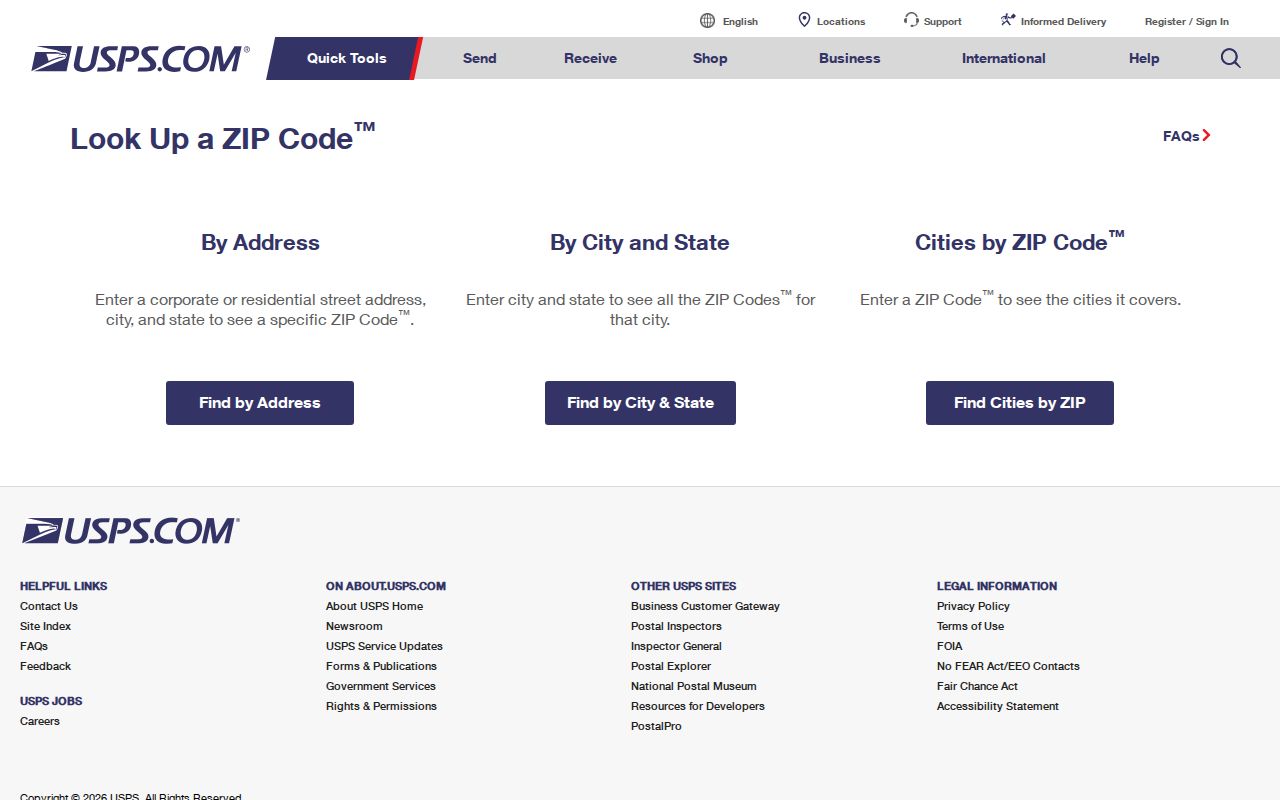
The USPS result is an address check, not a people record. Keep it beside the Assessor result so postal and legal jurisdictions stay distinct.
- Run the address through the Ventura County Assessor Property Search by situs or APN. If needed, use the public counter and record the APN.
- Open the APN or address in County View. Identify the polygon, inspect layers, pan along the street, and click adjacent parcels.
- Use the Recorder Self-Service index with name variants, type, and date. Match the legal description and order a copy when needed.
- Use voter information only as restricted corroboration. Personal status is self-service; a street-oriented file needs a qualified signed request.
- For past households, compare library or digital reverse directories around a number or street change. An entry is a dated snapshot.
Ventura County Address Records at a Glance
Ventura County has no single street directory that names every person at every door. Each keeper answers one question: the Assessor and County View establish the parcel, the Recorder supplies instruments, permits add a timeline, reverse directories show a dated listing, and a qualified voter file adds limited residence data.
| Record Set | Keeper | What It Shows | Access |
|---|---|---|---|
| Assessment parcel | Ventura County Assessor | APN, situs, assessment facts, mailing address where public | Web search or public counter |
| GIS parcel and layers | Ventura County County View | Parcel shape, adjacent parcels, roads, districts, aerial context | Free web viewer |
| Recorded deeds and liens | Ventura County Clerk-Recorder | Grantor, grantee, recording date, legal description, recorded interest | Index, copy/order, counter, books or microfilm |
| Permits, planning, and code records | City department or County RMA | Address, APN, applicant, contractor, work dates, project history | City/RMA portal or address-specific request |
| Reverse or criss-cross directory | Libraries and local archives | Listed occupant or business at an address in an edition year | Catalog, counter, microfilm, or digitized volume |
| Qualified voter file | Ventura Elections or California Secretary of State | Permitted registration, address, status, precinct, and participation fields | Self-status route or qualified request |
The APN bridges Ventura County records when a street line changes. A careful Ventura County street directory records the parcel key before it follows a deed or occupant clue. Access includes web search, counter help, index or copy requests, books or microfilm, city or RMA requests, and a qualified voter application.
Note: A parcel result links Ventura County records, but it cannot turn a public map into a complete street roster.
Ventura County Street Search Fields
The Ventura County Assessor Property Search is the first address-keyed stop because its public Internet search is parcel and situs oriented. County View's guide adds map actions for a street pass. Owner-name access is constrained, so use an address or APN and save the date.
| Field or Tool | Type | Required | Format or Use |
|---|---|---|---|
| APN | Text | One key | Normalize hyphens and spaces; use the parcel identifier |
| Address | Text or autocomplete | One key | Use the situs; try number, direction, suffix, and unit variants |
| Place or road | Text | No | Locates a map area rather than proving an owner or occupant |
| Identify parcel | Map click | No | Opens parcel information or a report |
| Layers | Checkbox tree | No | Shows parcels, aerials, jurisdiction, planning, and other themes |
| Zoom and pan | Map tools | No | Inspect a street segment and neighboring polygons |
| Measure | Map tool | No | Estimates distance or area; it is not a legal survey |
| Print or report | Button | No | Creates a dated map or report for research notes |
A Ventura County parcel report may include APN, situs, owner or assessee display where law permits, mailing address, tract and lot references, use code, acreage, assessed values, exemption indicator, year built, and a map link.
- Keep APN and situs together.
- Record land and improvement values separately.
- Save legal, tract, and lot references before older searches.
- Treat geometry as reference data, not a boundary survey.
Ventura County Street Terms
These terms keep an address search from turning a map label into a claim about a person. Ventura County records use related but distinct address language.
- APN or parcel
- An APN is the Assessor's parcel identifier. It links assessment, map, and legal-description references, but it is not a postal code.
- Situs address
- The situs is the physical location of taxable property. Test it against the parcel map and permit jurisdiction.
- Mailing address
- The mailing line receives assessment notices. It may be a post office box, agent, trust, management address, or another parcel.
- Legal description or plat
- A legal description identifies a tract, lot, block, easement, or metes-and-bounds area. A plat shows lot and street layout.
- Criss-cross directory
- A criss-cross directory lists a street or number first, then an occupant or business for that edition year.
When a Ventura County number changes, APN and legal description hold the chain together. A plat is not a household list, and a criss-cross entry needs proof.
Walking Ventura County Streets in County View
County View supplies the map layer for by-address research. Search the APN or address, select the polygon, and zoom until road labels and parcel edges are clear. The official County View user guide describes searches, identification, layers, measurement, printing, and reports.
- Identify the target polygon and save its APN or report reference.
- Pan along the street instead of treating each structure as one parcel.
- Click adjacent polygons separately to open parcel information.
- Use jurisdiction or planning layers to choose the records office.
- Print a dated map and label measurements as approximate GIS output.
Adjacent clicking lets Ventura County County View show a block one polygon at a time, without making a household roster. It can flag split lots, shared tracts, and rural parcels before a request.
Note: County View measurements help compare parcels, but they do not establish a legal boundary or replace a recorded map.
Ventura County Street Address Layers
Ventura County by-address research should carry both address fields without treating them as interchangeable. The situs locates the parcel; the mailing line locates correspondence. A different mailing destination can fit an absentee owner, trustee, agent, or simple address choice, but it does not identify who lives at the situs.
| Address Layer | Best Use | Possible Clue | Do Not Infer |
|---|---|---|---|
| Situs | Find the physical parcel and permit jurisdiction | Street, number, city or unincorporated setting | A complete household list |
| Mailing | Track where assessment notices are sent | Agent, trust, post office box, or correspondence link | The owner's present residence |
| Legal description | Match deeds, plats, and older parcel records | Stable tract, lot, block, or metes-and-bounds reference | A current postal address |
The homeowners' exemption may support an owner-occupancy inference, but it is not conclusive and some details can be protected. A Treasurer-Tax Collector bill adds tax status, not deed proof. Keep situs, mailing, APN, and legal description separate.
Ventura County Street Deed Trail
The Ventura County Clerk-Recorder calls its party index a library card catalog. Search every spelling variation, then narrow by party role, type, date, number, or book and page. A result can show names, roles, date, instrument number, type, and cross-reference. The image or certified copy supplies vesting, signatures, legal description, return details, and the notary block.
Older deeds may lack a searchable street address. Build the Ventura County chain through the current grantee, prior grantor, legal description, and cross-references. Match APN, tract, lot, spouse, or trust details before joining similar names.
Use the Self-Service index online, the Government Center counter at 800 S. Victoria Avenue for staff help, and the copy or certification route for an image. Appointments are expected; a Thousand Oaks counter has rotating closures. At the image cutoff, ask about books or microfilm. County real-property books begin in 1873, but the online cutoff is unstated; confirm with the Recorder at 805-654-3665.
Note: An index hit can identify a document without proving every covenant, signature, or current occupant.
Ventura County Street Permit Records
Permit custody follows jurisdiction, not a generic address roster. In an incorporated Ventura County city, start with its building or planning department. For an unincorporated address, County RMA handles permits, land use, parcels, and addressing. No countywide interface covers all ten cities.
Common fields are address, APN, permit or record number, record type, and date range. If a record is not published, make a city request or use the Ventura County public-records request route. Include address, APN, project name, dates, and desired format.
Permits, code cases, subdivision maps, and planning files place an applicant, owner, contractor, or project at an address. They document a record event, not occupancy.
Ventura County Street Changes
The county's historic-property guide warns that “123 Main” may not identify the same place decades later. Street names, numbers, rural routes, subdivision layouts, and annexation lines shift. Test both sides of a suspected change with Assessor maps, parcel maps, Sanborn indexes, reverse directories, and city or engineering records.
The 1873 boundary is a deeper break. Ventura County was created from Santa Barbara County in 1872 and organized in 1873. Earlier land or person records may belong under Santa Barbara County, land-grant material, mission records, or another predecessor series. Check that boundary before a modern county address search.
Annexation can change the service agency without changing the ZIP. Preserve old street wording, legal description, and city or unincorporated label for the next custodian.
Note: A changed street number can hide the right record unless old wording and legal description travel together.
Ventura County Criss-Cross Directories
Reverse directories add an occupant clue that a parcel and deed cannot supply. A Ventura entry may list surname, given name or initial, spouse or widow notation, occupation, and residence or business address. A street section reverses the order. The edition date matters because it is a snapshot.
Start with the Ventura County Library local-history catalog; ask the counter about microfilm and circulation. The California State Library's Ventura research guide points to city-directory and telephone-book databases. Verified scattered editions run from 1908 through 1949; later holdings need a catalog check. Volumes can bundle Ventura, Oxnard, Santa Paula, Fillmore, or Ojai.
The Ventura County city directory page handles collection history. Preserve the title page, publisher, cities, abbreviation key, and entry image. Telephone books usually identify a subscriber, and street sections can omit new construction or rural routes.
Ventura County Street Voter Limits
The California registration-status route lets a voter check personal status and reach Ventura Elections. It is not a public browse-by-address roster. A full or county file requires a qualified purpose under Elections Code sections 2180 through 2194. Ventura Elections: 805-654-2664.
The qualified voter-file request asks for the applicant, purpose, product, security certification, and any named-voter fields. Products include a statewide file, optional history or districts, or up to ten named voters. The research records a $100 statewide fee and $30 specific-voter product, capped at $100 and ten records; county files have their own forms and fees.
Fields may include name, residence and mailing address, status, registration date, party preference, precinct or district, and participation history. Ballot choices, license and ID numbers, Social Security numbers, signatures, and protected contacts are withheld. Safe at Home registrations are not normally supplied. A qualified file may be sorted by street for an authorized purpose, but the public status page cannot publish everyone at an address.
Ventura County Directory Mailer Checks
Order recorded deeds from the Ventura County Recorder directly. A private mailer may look official and cost more than the public route. Check disclaimers, compare the fee schedule, and call 805-654-3665 before sending money. Fraud Notify Alert can search by APN and report a matching recording, but it does not block or decide a filing.
For a misleading deed-copy solicitation, use the California Attorney General consumer complaint route, not the sender as custodian.
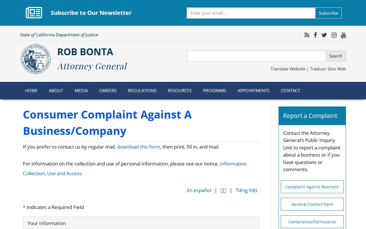
The form gives a suspected solicitation a state reporting channel. The Recorder remains the source for the deed, copy, and recording details. Keep the mailer, date, and APN with the complaint.
Note: A state complaint reports a solicitation; only the Recorder can supply the recorded instrument or certified copy.
Limits of a Ventura County Street Directory
No public Ventura County record set supplies a complete list of people at every address. An Assessor record shows a parcel relationship, a deed a recorded interest, a permit a project event, and a reverse directory a dated listing. None alone confirms a current household. Public data changes and may be limited by law.
- Complete occupants, household members, and unlisted names are not reliably shown.
- DMV addresses and utility subscriber lists are not open street sources.
- Safe at Home and protected voter addresses are withheld.
- A voter file does not reveal ballot choices or every person at a place.
- A deed, tax bill, or parcel map is not a current occupancy statement or survey.
When a record is wrong, contact its custodian. The Assessor handles assessment data, the Recorder handles index and corrective routes, and Elections handles updates. A narrow California Public Records Act request can seek an existing record by address, APN, type, and date, but CPRA does not override voter, DMV, juvenile, sealed, investigatory, or Safe at Home confidentiality. The Safe at Home program uses a substitute address and agency rules.
Lawful personal use. Ventura County address records support personal research, family history, property history, and consumer caution. Use a Ventura County street directory for lawful inquiry only. Using an index to stalk, harass, intimidate, impersonate, or repeatedly follow another person can bring consequences under California Penal Code sections 646.9, 422, and 653m.